Field systems operationalLiDAR + RTK reality captureOʻahu-based · Serving projects throughout Hawaiʻi

RTK drone site documentation

Aerial context tied to a clearly documented reference.

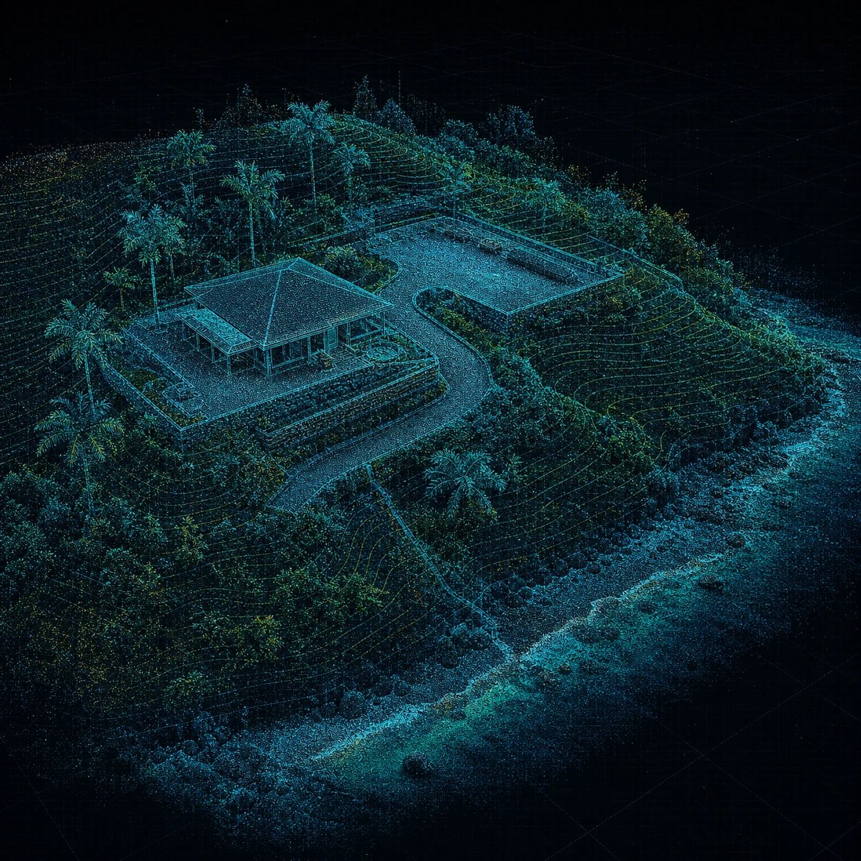
Blue RTK aerial point cloud of a coastal site with a building, driveway, terrain, and vegetation
Builders + ownersAccess and staging

Aerial context makes circulation, staging, adjacent conditions, and visible constraints easier to review.

RTK positioning improves the consistency of aerial site capture, but the value comes from a disciplined flight plan and an honest statement of intended use.

RTK // AERIAL REGISTER

Planning record

See the whole site without flattening the limitations.

Aerial capture can document site access, staging, visible conditions, construction progress, and relative surface relationships. Coverage, control method, processing, and limitations are recorded so recipients know what the product can and cannot support.

Potential outputs

Useful site context for teams that are not buying a boundary survey.

  • High-resolution orthomosaic for planning and documentation
  • Georeferenced imagery with stated coordinate reference
  • Relative surface and change visualization
  • Progress records at defined construction milestones
  • Exterior context to accompany an interior SLAM capture
Important use limitation

These products are not boundary surveys, certified topographic surveys, authoritative design elevations, construction staking, or positional-accuracy certifications. Work requiring those functions must involve a Hawaiʻi-licensed land surveyor.

Call 808-201-2017Request scope