Field systems operationalLiDAR + RTK reality captureOʻahu-based · Serving projects throughout Hawaiʻi

Clear boundaries

Know what the product is, and what it is not.

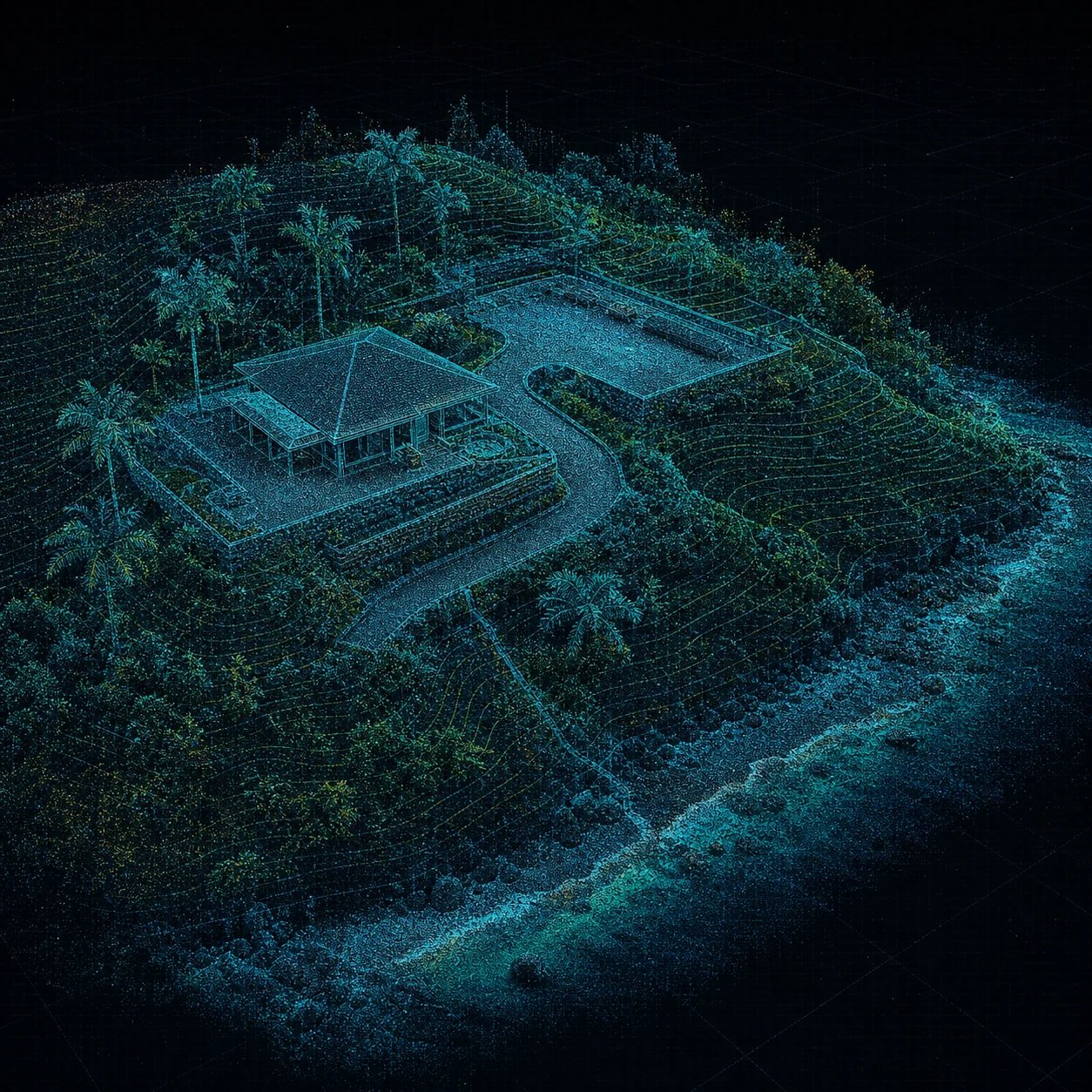
Blue aerial point cloud of a coastal property with terrain contours and site access
Survey + design partnersDocument the reference

Coordinate reference, RTK status, control information, and processing choices are recorded with the handoff.

Reality-capture products are most useful when recipients understand the coverage, reference system, processing choices, and level of professional reliance.

USE REGISTER // LIMITATIONS

Appropriate use

Visual context, planning records, and downstream coordination.

Depending on scope, deliverables may support existing-condition review, design-team reference, facility documentation, construction progress conversations, and professional workflows where another licensed party retains responsibility for regulated interpretations or certifications.

Not included

Hawaii Site Intelligence is not a licensed land surveying practice.

  • Boundary determination or boundary surveys
  • Certified topographic surveys
  • Construction staking or layout
  • Authoritative survey coordinates or design elevations
  • Positional-accuracy certification
  • Engineering or architectural design services

Professional collaboration

Regulated deliverables can be coordinated with the right licensed professional.

Hawaii Site Intelligence can provide field-capture support to licensed surveyors, architects, engineers, and BIM professionals when they control the regulated scope, professional judgment, certification, and final deliverable.

Project-specific terms control

Every proposal should identify intended use, accessible areas, excluded areas, equipment, reference information, file formats, assumptions, and limitations. Do not rely on a general website description in place of the project scope.
Call 808-201-2017Request scope