Interior 3D Laser Scanning
Rapid mobile LiDAR capture for renovation planning, facility records, MEP coordination, and hard-to-document building geometry.
View capture productCapture products
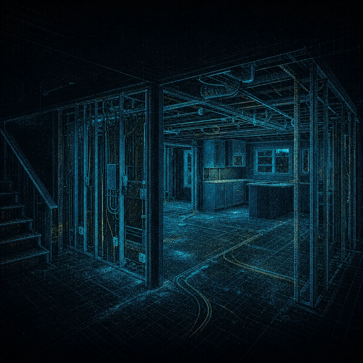
Capture walls, openings, structure, and irregular conditions before design decisions lock in.
Every product starts with a defined decision, a coverage plan, and a deliverable your team can use. The smallest, simplest engagements begin at $1,750; large or complex scopes can reach $20,000.
SERVICE REGISTER // 01–06Quick selection register
| If the team needs to… | Start with | Typical output | Service details |
|---|---|---|---|
| Renovation or facility planning | Interior 3D laser scanning | Registered point cloud + visual context | Review → |
| Site context or aerial progress | RTK drone documentation | RTK-referenced imagery + site views | Review → |
| Piping, electrical, or mechanical work will be covered | Before-concealment capture | Spatial installation record for the owner | Review → |
| One property-wide record | Integrated interior + exterior | Coordinated LiDAR + aerial handoff | Review → |
Complete capture register
Rapid mobile LiDAR capture for renovation planning, facility records, MEP coordination, and hard-to-document building geometry.
View capture productRegistered, organized spatial records that help project teams examine visible existing conditions without repeated field visits.
View capture productGeoreferenced aerial imagery and site visualization for planning, construction records, quantity conversations, and team coordination.
View capture productPreserve the visible placement of piping, electrical, mechanical systems, penetrations, and framing before walls and ceilings close.
View capture productCombine SLAM building capture and RTK aerial documentation into one coordinated property record with clearly documented references.
View capture productField-data collection support for licensed surveyors, architects, BIM teams, and other professionals who retain control of regulated deliverables.
View capture productScope before mobilization